The Lake Mary Local Weather Page


graphs Narrow (mobile) version      Complete weather station gauge data
Almanac: today   yesterday   this month   this year   records   monthly records
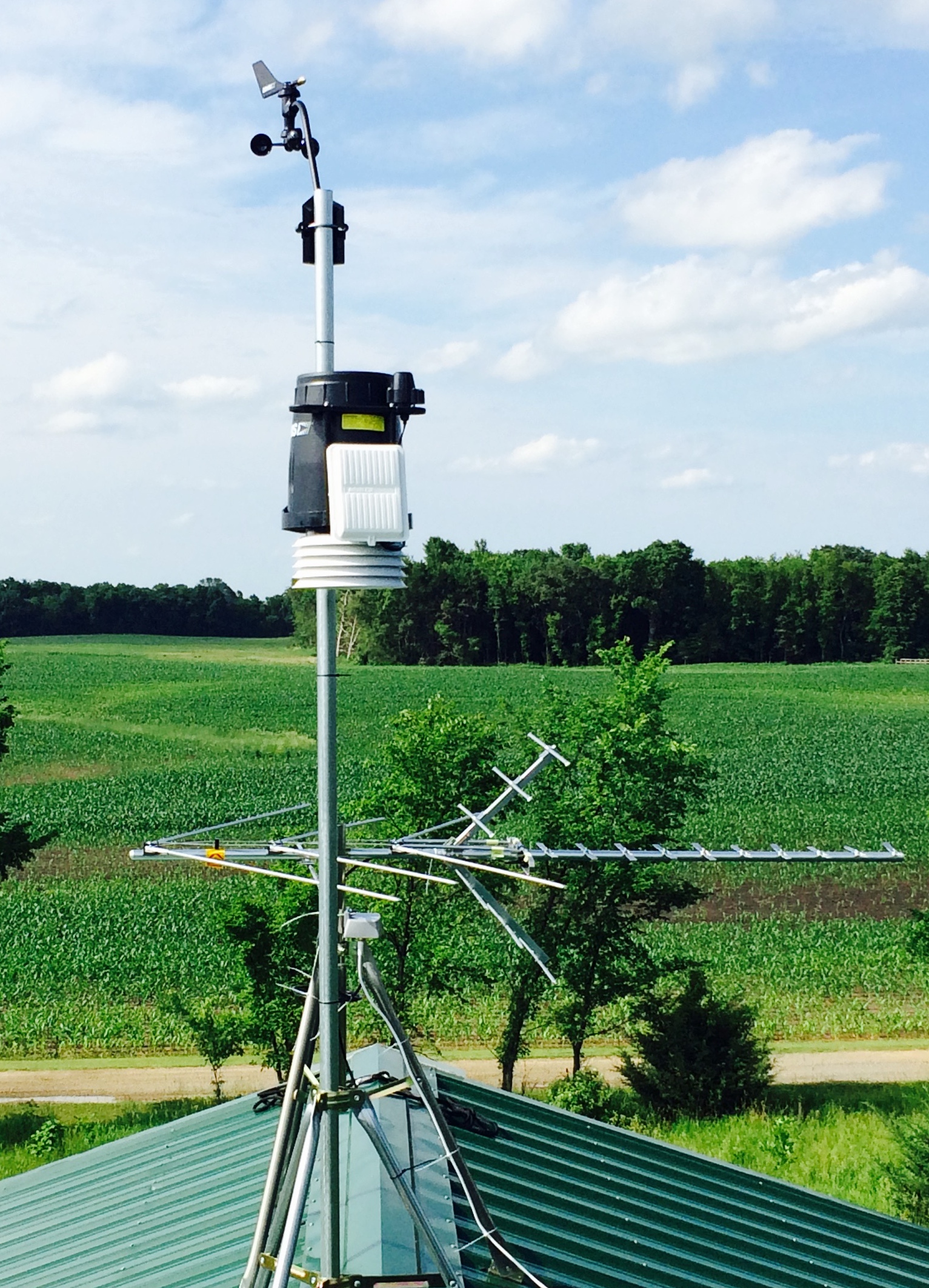
weather station
lakeside webcam
Driveway
CWOP/MADIS Links: CWOP graphs MADIS QC checks MADIS surface map MesoWest data MesoWest map
Click the image for more Lake Mary data from Wunderground (yesterday)
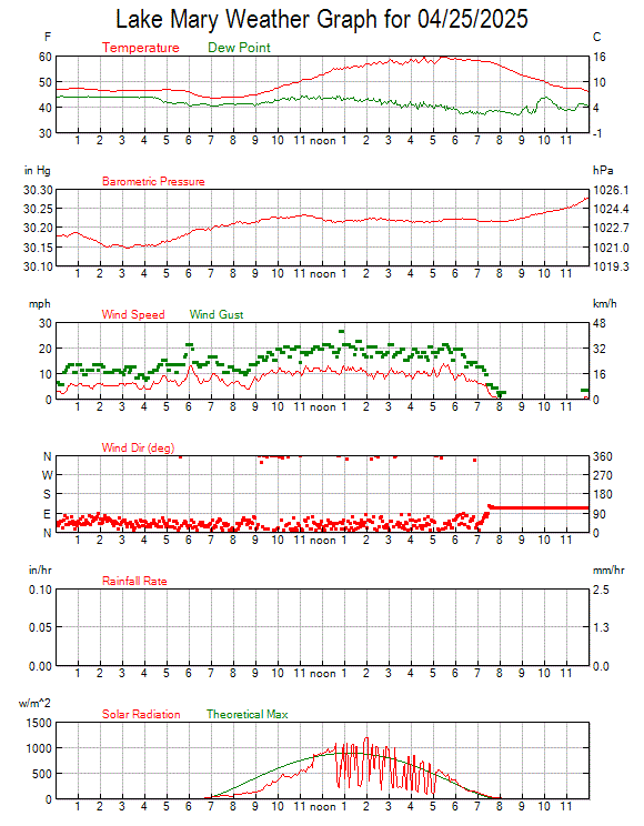
todays graph
Click here for the complete Howard Lake/Winsted area, Minnesota forecast

Today
Today: Increasing clouds, with a high near 80. Calm wind becoming west southwest around 5 mph in the morning.
Increasing
Clouds


High: 80 °F
Tonight
Tonight: A 40 percent chance of showers and thunderstorms, mainly before midnight.  Mostly cloudy, with a low around 62. West southwest wind around 5 mph becoming southeast in the evening.
Chance
T-storms


Low: 62 °F
Tuesday
Tuesday: A chance of showers, with thunderstorms also possible after 1pm.  Cloudy, then gradually becoming mostly sunny, with a high near 75. Calm wind becoming north northwest around 5 mph in the afternoon.  Chance of precipitation is 30%.
Chance
Showers


High: 75 °F
Tuesday Night
Tuesday Night: Mostly cloudy during the early evening, then becoming clear, with a low around 56. West northwest wind around 5 mph becoming calm.
Clear


Low: 56 °F
Wednesday
Wednesday: Sunny, with a high near 76. Calm wind becoming west around 5 mph.
Sunny


High: 76 °F
Wednesday Night
Wednesday Night: Partly cloudy, with a low around 56. Calm wind.
Partly Cloudy


Low: 56 °F
Thursday
Thursday: Sunny, with a high near 79. Calm wind becoming south southwest around 5 mph in the afternoon.
Sunny


High: 79 °F
Thursday Night
Thursday Night: A slight chance of showers, then a chance of showers and thunderstorms after 1am.  Mostly clear, with a low around 62. Southwest wind around 5 mph.  Chance of precipitation is 30%.
Chance
Showers


Low: 62 °F
Friday
Friday: A 20 percent chance of showers and thunderstorms after 1pm.  Mostly sunny, with a high near 81. West southwest wind 5 to 10 mph.
Mostly Sunny
then Slight
Chance
T-storms
High: 81 °F
Click the image for the NWS graphical hourly forecast
hourly graphical forecast
Waterski (wind) forecast
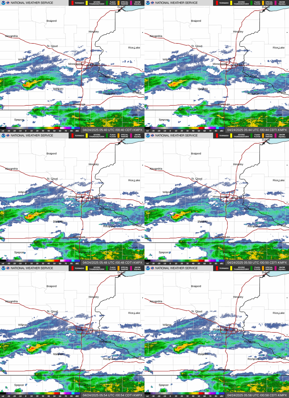
Local radar loop
Radar Loop
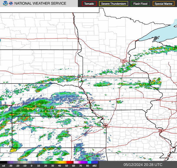
Regional radar
Regional Radar
GOES-East (GOES16) - Sector view: Upper Mississippi Valley
Click the image for surface forecast and local surface maps
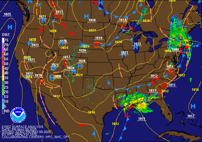
Current surface map
Inspired by Howardweb's Weather Page.
Mail to Mike Mail me!
Back Back to Mike's home page!

Last updated: Mon June 17, 2024.
Copyright © Mike vanMeeteren, 2007-2024.